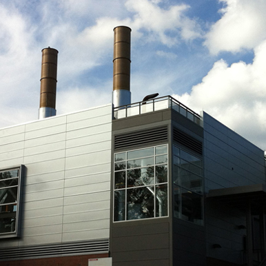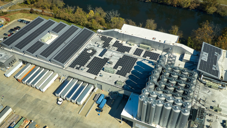
Transforming Industrial Energy Consumption: NCCETC’s Commitment to Pioneering Clean Power & Energy Efficiency
Energy consumption in the U.S. is notably shaped by its industrial and commercial sector users. At the forefront of initiatives to mitigate energy intensity is the NCCETC. Our dedicated team offers comprehensive technical services focused on energy efficiency, encompassing overall management, training initiatives and on-site assessments.
Learn how we can help your organization Learn More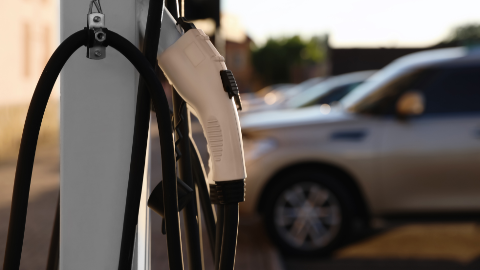
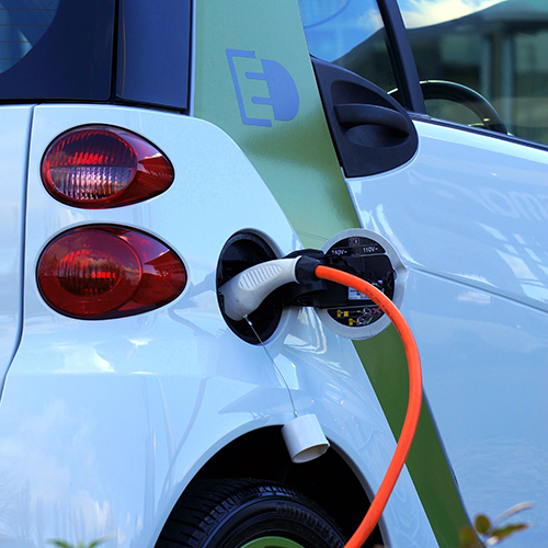
Empowering Tomorrow: Considerations for Resilient Electric Vehicle Infrastructure Amidst Natural Disasters
Electric vehicles have emerged as a transformative force, providing a cleaner alternative to traditional combustion-engine vehicles. As the global transition towards widespread EV adoption gains momentum, local governments must consider a critical aspect often overlooked in the electrification revolution – the resilience and reliability of the infrastructure needed to support the use of these vehicles during and after natural disasters.
Learn More Learn More
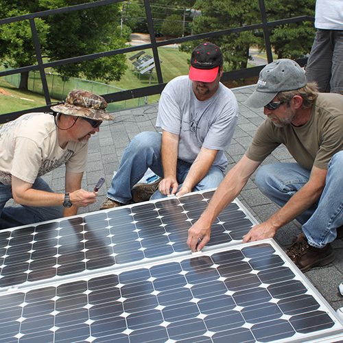
DSIREinsight
DSIREinsight provides policy research and analysis services to energy industry professionals. It is a project of the NC Clean Energy Technology Center, expanding upon the Center’s Database of State Incentives for Renewables and Efficiency and and 50 States quarterly policy tracking reports. DSIREinsight's subscription services focus on distributed solar, grid modernization and energy storage, and electric vehicles, as well as customized energy policy research. Take a deeper dive into U.S. clean energy policy, and learn more about new policies and policy changes under consideration across the country.
Learn more Learn More
Fuel What Matters
Fuel What Matters is a public education awareness campaign designed to connect the citizens of North Carolina with the transportation technologies and practices that help improve air quality, save money and reduce dependence on foreign oil.
Learn More Learn More